
Taiwan to deploy airborne MT technology for geothermal exploration in Yilan County

An airborne magnetotelluric method for exploration will be deployed for the first time in Taiwan, aiming to characterize geothermal resources in Yilan County.
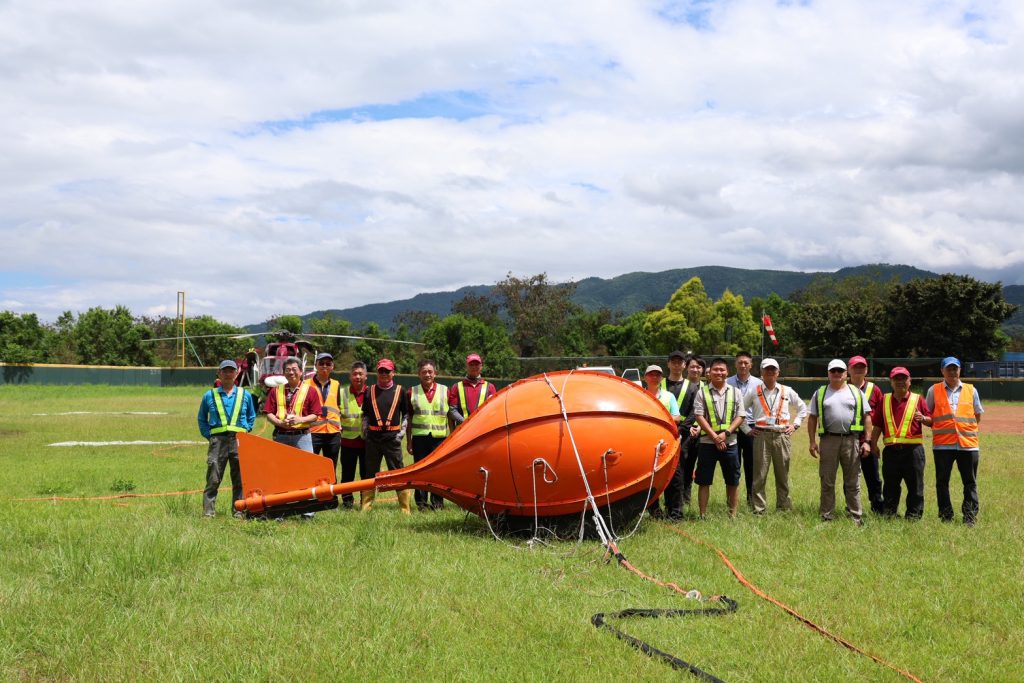
The Ministry of Economic Affairs (MOEA) of Taiwan, through the Geological and Survey Mining Administration, has partnered with the Industrial Technology Research Institute (ITRI) and De’An Aviation to introduce MobileMT, an airbone magnetotelluric (MT) survey program for geothermal exploration. The airborne survey will operate from 6-12 August and will concentrate on the Sanxing and Datong townships in Yilan County.
The middle and upper regions of the Lanyang River in Yilan County are considered to have the highest deep geothermal potential among Taiwan’s ten major geothermal areas. For this reason, the survey will focus on this area in hopes that the advanced technology will create a breakthrough in geological research, particularly in the exploration of geothermal resources.
The survey will work by suspending the MT instrument on a helicopter, which will then fly at relatively lower altitudes (approximately several hundred meters). The method can help acquire subsurface resistivity data over a wide area rapidly, thus helping to map out the highly permeable structures or formations rich in conductive minerals. In the future, the results of the survey will be publicly available on the Geothermal Exploration Information Platform website.
This survey involves a team of geothermal exploration and geophysical experts from Canada, who have extensive experience conducting helicopter-based surveys worldwide. The Mineral Resources and Earth Science Center has assured all residents in the survey area that all flights and survey operations are to be carried out in accordance with standard procedures and have been approved by the relevant authorities.
RELATED: Industry players officially establish Taiwan Geothermal Industry Association
Source: Ministry of Economic Affairs