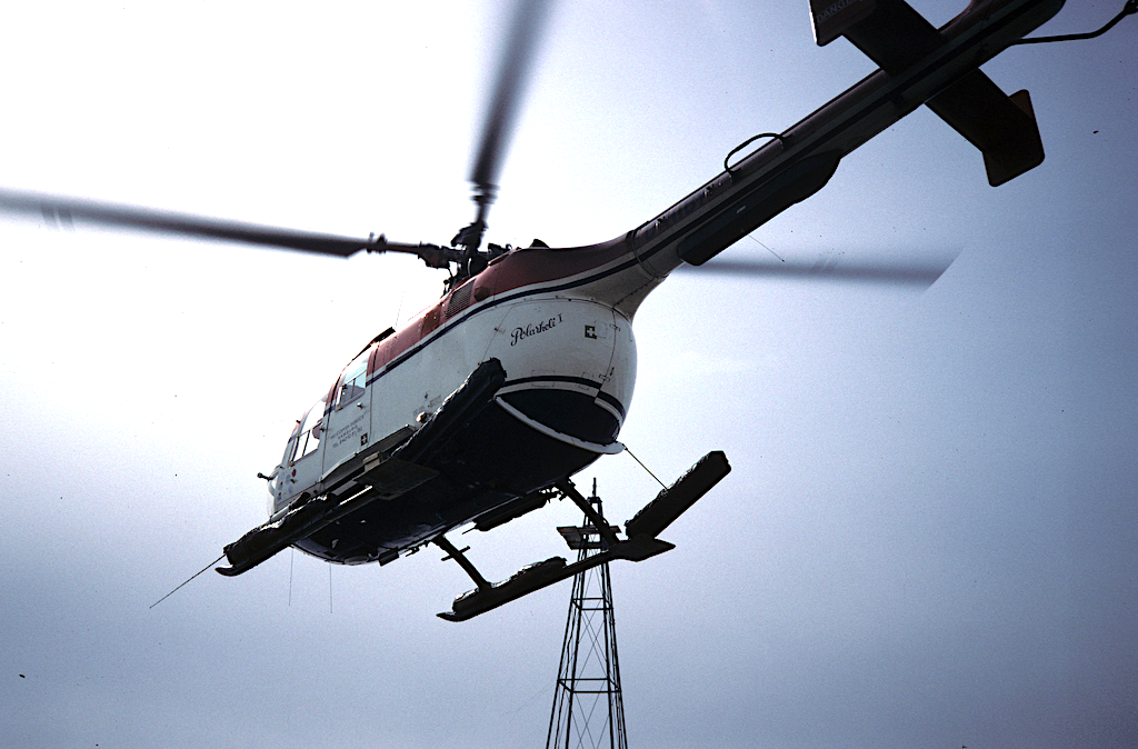
With the helicopter flight, badenovaWÄRMEPLUS wants to condense the data base on the geological potentials of deep geothermal energy in order to gain further information for a meaningful picture of the subsurface. With so-called aero-magnetics by means of helicopter flights , parameters of the natural earth magnetic field are to be recorded by flying over the earth’s surface . The magnetometer data is digitally recorded and evaluated.
At 330 meters above the Breisgau
The flight will start on Monday, May 17th and should be completed within a week. With this approach to exploration no intervention takes place in the underground. The helicopter flies at a height of approx. 330 meters and carries a 30 meter long towed body with it The area between the Kaiserstuhl in the north and Müllheim in the south is flown over 250 meters apart in an east-west direction at a speed of approx. 110 km / h. In the west the Rhine and in the east the foot of the Black Forest (Vorbergzone) is the border of the overflown area.